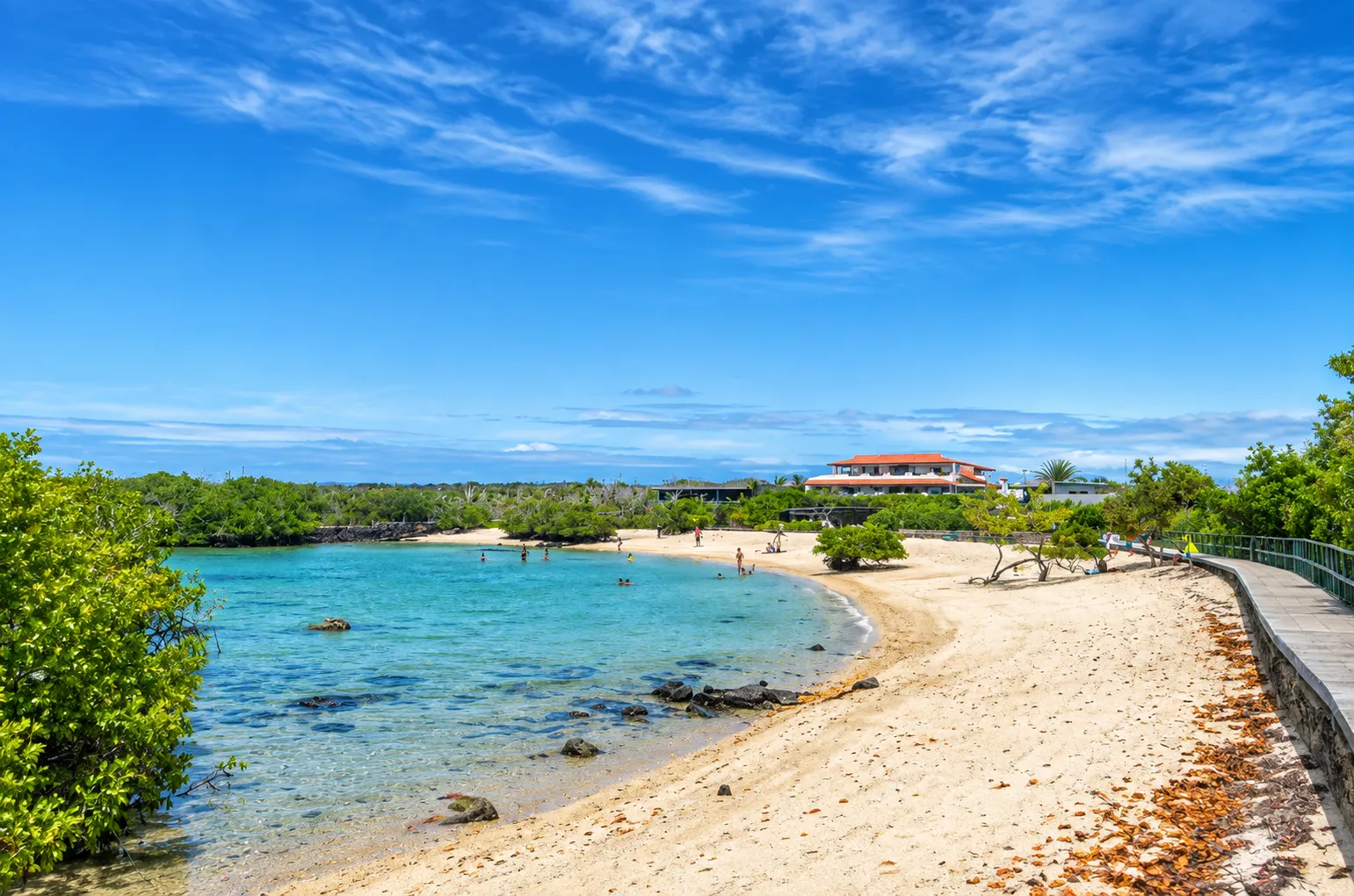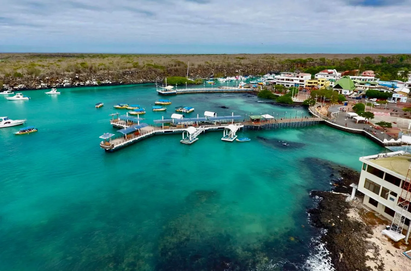
Puerto Ayora and the island's rural areas show how biodiversity conservation also depends on the sustainability of the local population.
An inhabited island at the center of the archipelago
Santa Cruz is one of Galápagos' main islands and occupies a central position within the archipelago. Its territory brings together a history of human settlement, agriculture, and urban development connected to Puerto Ayora, along with coastal environments, transition zones, and highlands where biodiversity conservation remains inseparable from the sustainable management of local life.
Essential information
- Area
- 986 km²
- Maximum elevation
- 864 m
Landscape, geology, and plant diversity
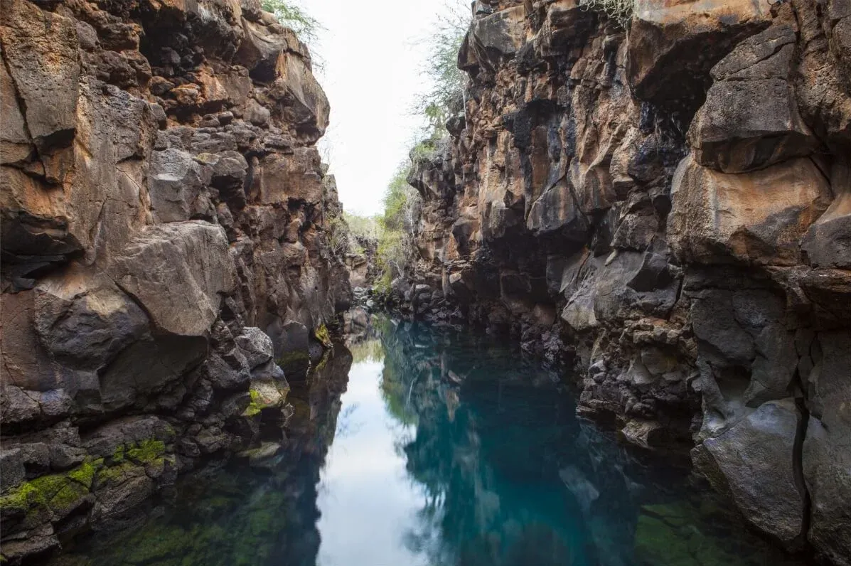
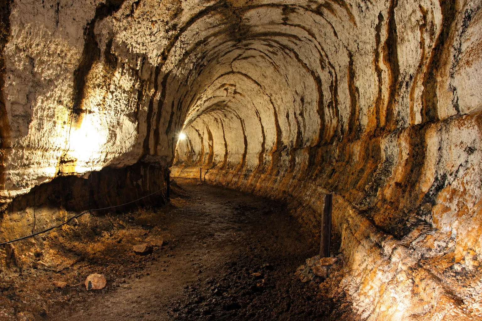
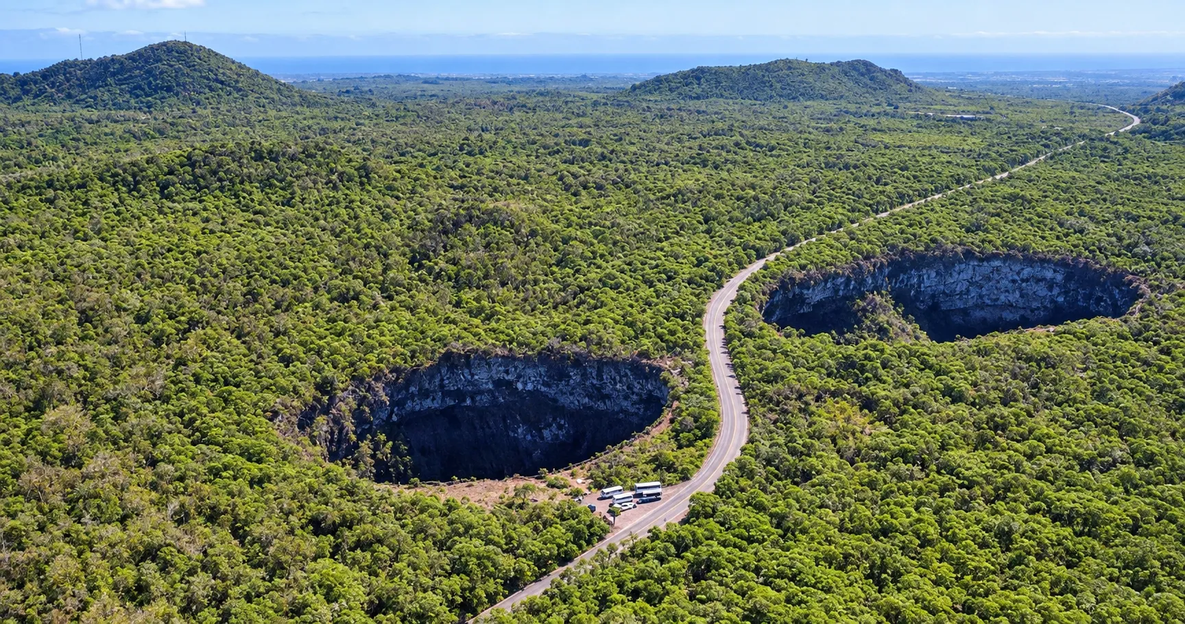
Santa Cruz's terrain retains evidence of its volcanic origin. Los Gemelos, large depressions formed by the collapse of ancient magma chambers, are a reference for the geological process that shaped the island. Lava tubes and volcanic formations in the highlands complete a landscape where natural processes remain visible.
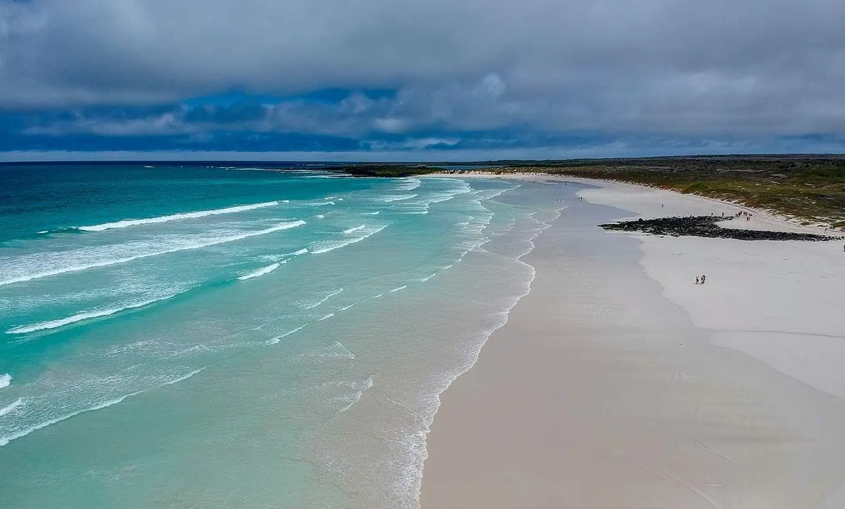
From the coast, the territory rises through agricultural and transition zones toward humid highlands. Along that gradient are environments associated with Scalesia and Miconia, as well as coastal and drier-zone vegetation. This environmental diversity helps explain the coexistence of human communities, agricultural areas, and native habitats on the same island.
Territorial history
- Santa Cruz formed during this geological period. Los Gemelos preserve evidence of ancient volcanic processes in the highlands.
- The expedition led by Fray Tomás de Berlanga marked the beginning of the European record of the Galápagos archipelago.
- The archipelago became part of Ecuador. Santa Cruz's history later developed within that administrative and territorial framework.
- A group of Norwegian settlers attempted to develop fishing and canning activity. Part of that settlement later became connected to agriculture in the highlands.
- The United States air base established on the nearby island of Baltra made this sector of the archipelago strategically important. The territorial relationship between Baltra and Santa Cruz forms part of the island's regional history.
- The growth of Puerto Ayora, rural communities, and agricultural activity permanently transformed the landscape and reinforced the need to manage introduced species, waste, and local resources.
Puerto Ayora and the highlands
Puerto Ayora and Academy Bay
Puerto Ayora, located on the south coast beside Academy Bay, is the main town associated with Santa Cruz and a hub for population, services, and institutions in the archipelago. It brings together activities connected to the sea, commerce, research, and environmental administration, making it possible to understand the everyday relationship between urban life and island conservation.
Bellavista, Santa Rosa, and rural territory
Bellavista and Santa Rosa are part of Santa Cruz's highlands. Their history is connected to agriculture and livestock, activities that modified the landscape but also explain the presence of rural communities on an island recognized for its ecosystems. The connection among these areas, Puerto Ayora, and the north coast shows the territory's social and environmental diversity.
Conservation and environmental management
Introduced species, urban growth, and demand on local resources are persistent challenges for Santa Cruz. Conservation requires preventing new introductions, protecting native habitats, and developing alternatives that involve the local population in waste management, environmental education, and care for the territory.
The Fabricio Valverde Environmental Center was created in 2006 as a space for solid-waste management and environmental education. Native and endemic plant nurseries, together with biological-control actions targeting introduced pests, form part of the conservation background that links ecological restoration, education, and community participation on Santa Cruz.
Landscapes and territorial references
Los Gemelos
Los Gemelos are two large depressions related to the collapse of magma chambers. Surrounded by highland vegetation, they make it possible to recognize the scale of the volcanic processes that shaped Santa Cruz.
Highlands and the Tortoise Reserve
The highlands bring together agricultural areas, humid forests, and areas inhabited by giant tortoises. The Tortoise Reserve and landscapes near El Chato show the transition between altered spaces and native vegetation, a relationship central to Santa Cruz's ecological history.
Charles Darwin Research Station and Fausto Llerena Tortoise Center
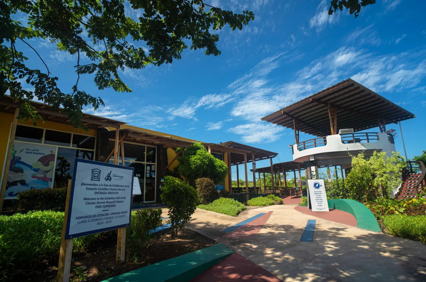
The Charles Darwin Research Station and the Fausto Llerena Tortoise Center are references for research, environmental education, and giant-tortoise breeding and conservation programs in Galápagos. Their presence on Santa Cruz links scientific knowledge with the management of species and ecosystems in the archipelago.
Tortuga Negra Cove and the northern mangroves
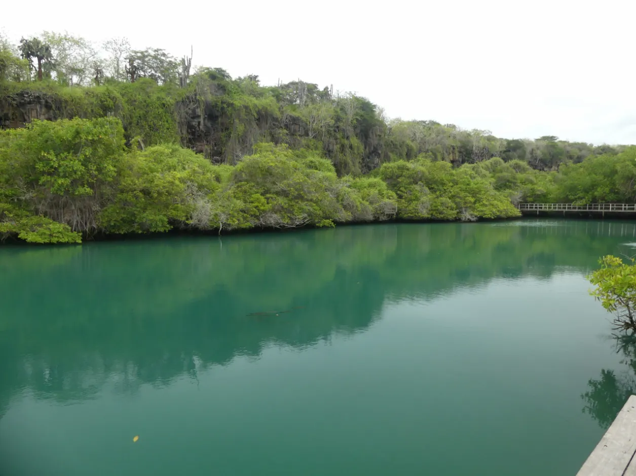
On the north coast, Tortuga Negra Cove represents the importance of mangroves as refuges for marine fauna and coastal birds. These environments connect the Marine Reserve's dynamics with Santa Cruz's terrestrial landscapes and highlight the ecological value of coastal zones.