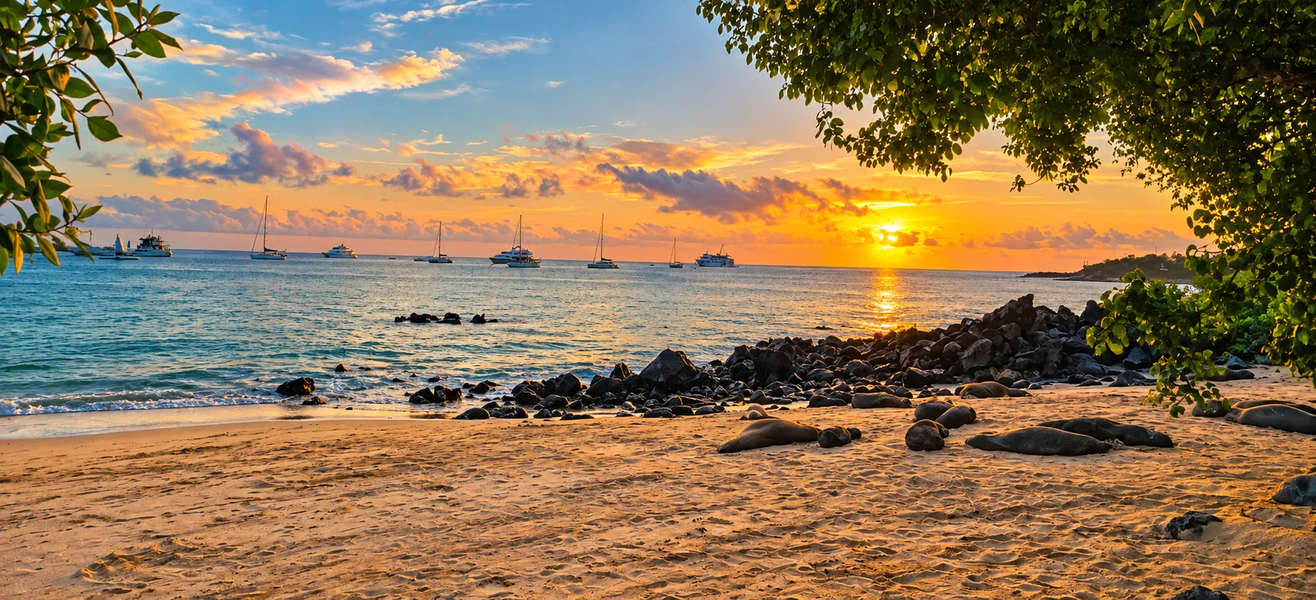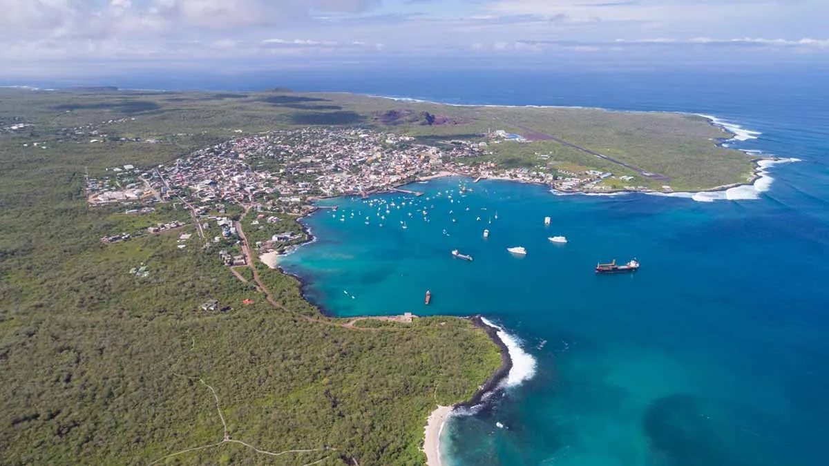
Its volcanic landscapes, coastal environments, and rural communities show how protecting biodiversity also depends on the responsible management of introduced species and marine resources.
An eastern island between port and highlands
San Cristóbal is the easternmost island in the Galápagos archipelago. Its territory brings together a port city that serves administrative functions for the province, rural communities in the highlands, and coastal environments of major ecological significance. This diversity makes it possible to understand the relationship among settlement history, freshwater, and island conservation.
Essential information
- Area
- 558 km²
- Maximum elevation
- 759 m
- Population
- 5,500 inhabitants
Volcanic terrain and freshwater
San Cristóbal's terrain formed through the merging of volcanoes that are now extinct. From the coast, the landscape rises toward transition zones and wetter highlands, where agricultural environments coexist with forests, shrublands, and native-species habitats. The variety of conditions between coast and elevation helps explain the island's environmental diversity.
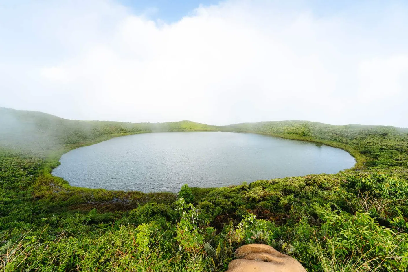
El Junco Lagoon, located in a highland caldera, is an essential reference for understanding the value of freshwater in Galápagos. Its presence influenced the human settlement processes of San Cristóbal and connects volcanic landscape with rural life, highland vegetation, and the conservation of wildlife associated with these environments.
Gallery
Photo 1 of 7
Territorial history
- Charles Darwin landed on San Cristóbal during the voyage of HMS Beagle. The island holds a prominent place in the scientific and historical memory of the archipelago.
- The highlands, especially the area around El Progreso, concentrated settlements, agricultural activity, and resource use that transformed island territory.
- El Progreso was associated with a penal colony and the administration of Manuel J. Cobos. This period includes references to coercive labor, agricultural production, and social conflict.
- The death of Manuel J. Cobos during an uprising marked the end of a period of authoritarian control in El Progreso.
- The fishing company La Predial represented an attempt at marine-linked industrial activity, a precursor to the enduring relationship among fishing, the local economy, and conservation.
- Puerto Baquerizo Moreno has become the provincial capital and the island's principal urban center, while the highlands and coastal ecosystems continue to play a central role in community life and environmental management.
Puerto Baquerizo Moreno and El Progreso
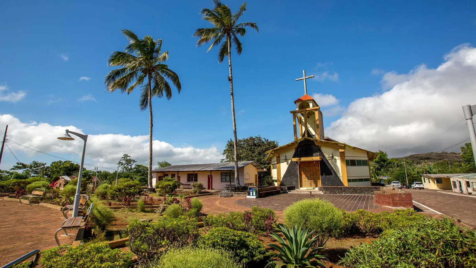
Puerto Baquerizo Moreno is the capital of Galápagos Province and San Cristóbal's main urban settlement. Its condition as a port city concentrates administrative activity, community life, and an everyday relationship with the Marine Reserve. This connection makes clear that conservation depends not only on protected areas, but also on decisions made in inhabited centers.
El Progreso represents the island's rural and historical dimension. Its highlands are associated with agriculture, forests, and the memory of the first permanent settlements. The relationship among Puerto Baquerizo Moreno, El Progreso, and El Junco shows how coast, city, and highland landscape form part of the same territorial system.
Conservation and introduced-species management
San Cristóbal's connectivity increases the need to prevent the introduction of non-native species. On the island, invasive plants and other non-native organisms can affect highland ecosystems, agriculture, and Galápagos' native plant and animal populations.
Conservation on the island also requires balancing biodiversity with human activities connected to artisanal fishing, agriculture, and urban life. Protecting native habitats, controlling introduced species, and responsibly managing the Marine Reserve are long-term processes that depend on local institutions and communities.
Landscapes and territorial references
El Junco Lagoon
El Junco is a freshwater lagoon located in a highland caldera. Its landscape reveals the connection among volcanism, rainfall, highland vegetation, and the historical processes of settlement on San Cristóbal.
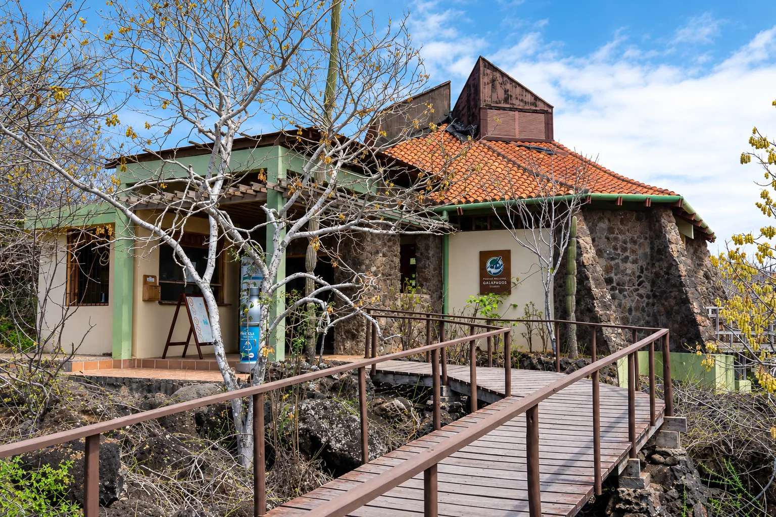
Puerto Baquerizo Moreno and the Interpretation Center
Puerto Baquerizo Moreno concentrates the island's administrative and community life. The Galápagos National Park Interpretation Center connects this setting with the communication of the archipelago's natural and human history. In this record, it is mentioned as a territorial landmark without describing services, opening hours, or visiting conditions.
Cerro Tijeretas and the nearby coast
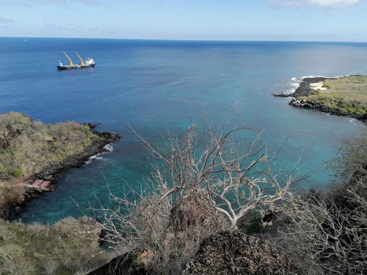
Cerro Tijeretas represents the transition between the city and San Cristóbal's coastal landscapes. The area is associated with seabirds, coastal vegetation, and the memory of Darwin's first landing in the archipelago.
Punta Pitt
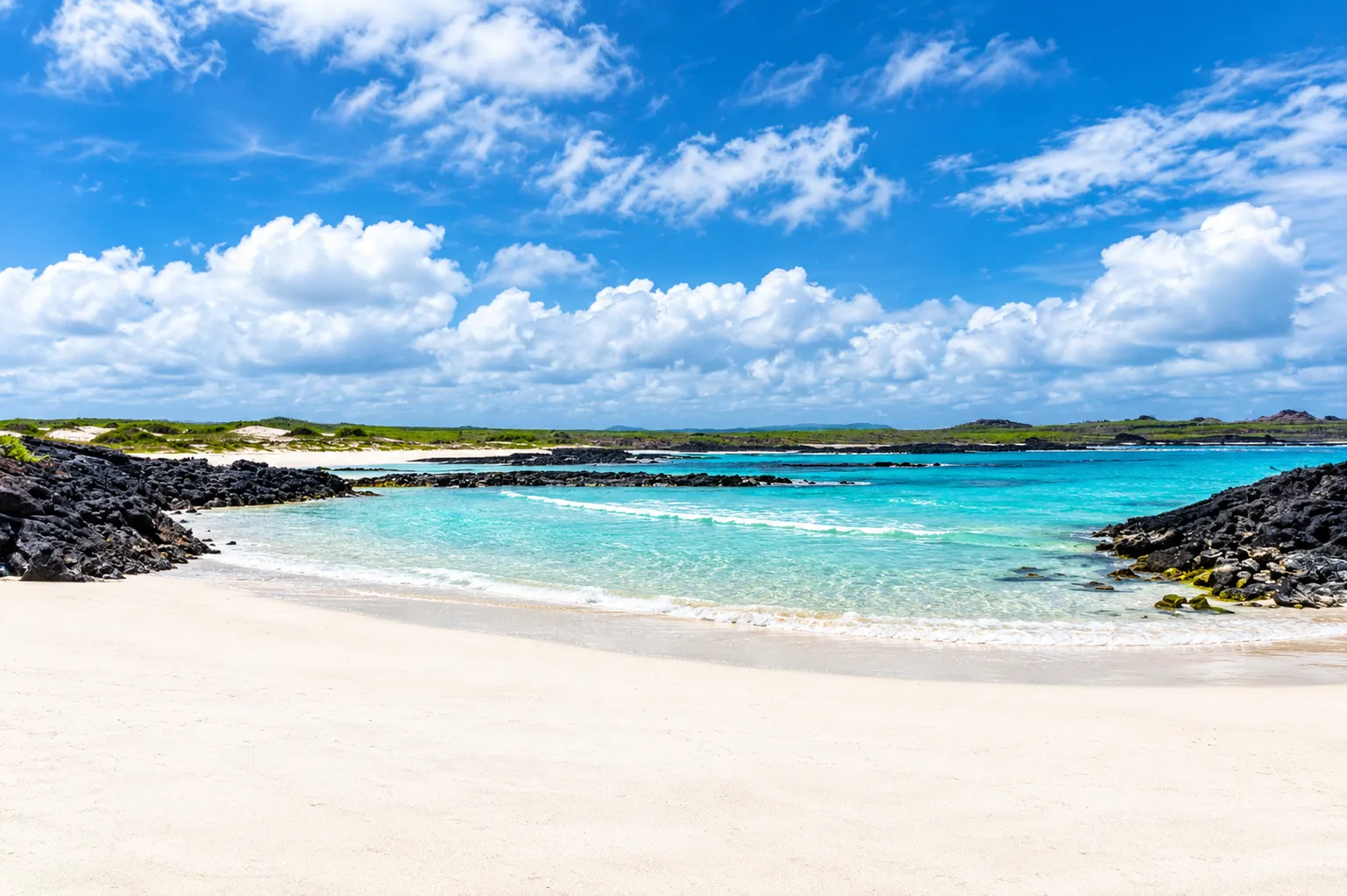
At the eastern end of the island, Punta Pitt presents a volcanic landscape eroded by wind and sea. The site is associated with seabirds and with the diversity of coastal environments that characterize San Cristóbal.
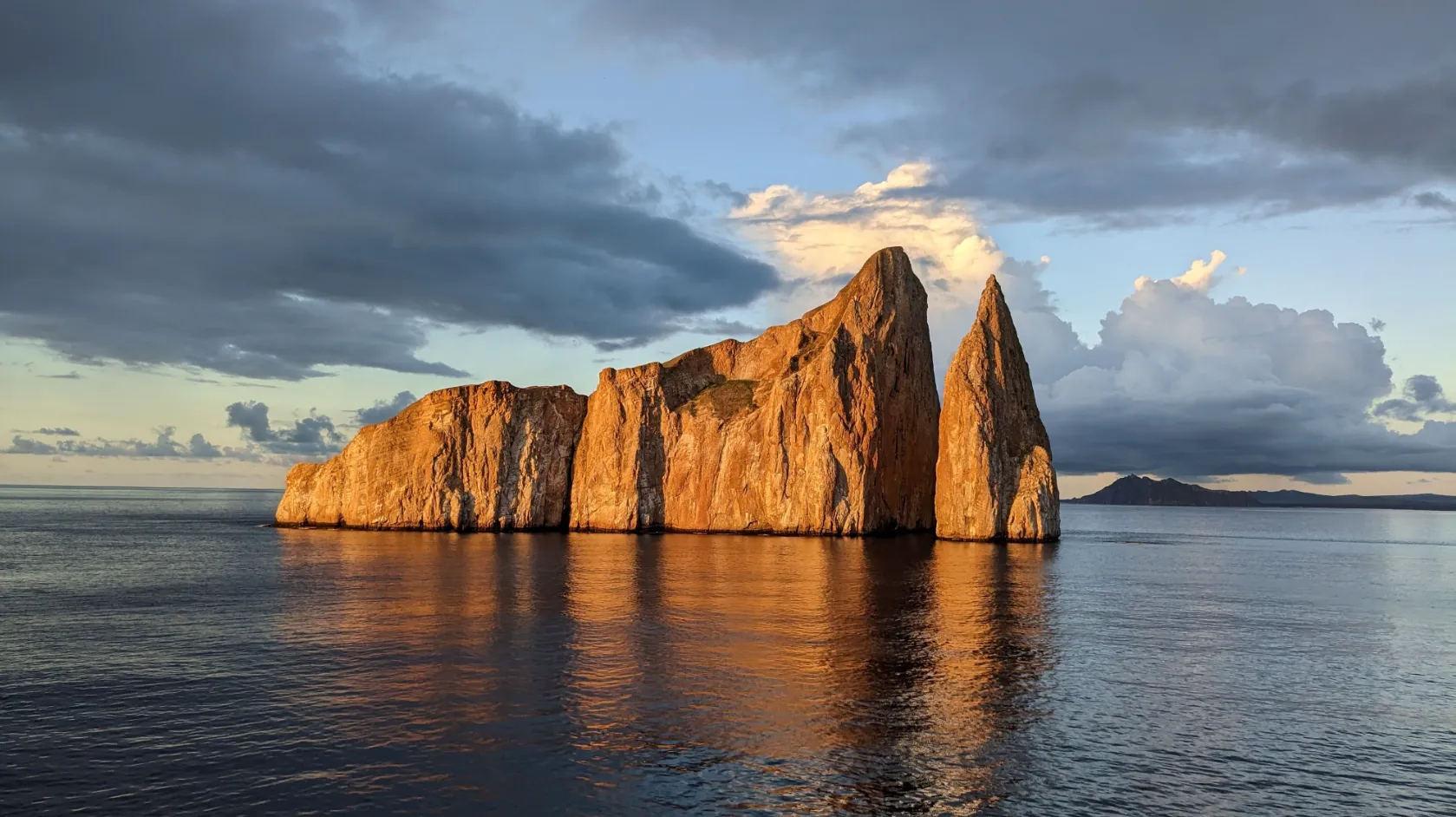
Kicker Rock
Kicker Rock is a volcanic tuff formation separated by marine erosion. Its silhouette is a geological reference of San Cristóbal's marine environment and relates the island's volcanic origin to the surrounding ocean landscapes.